
AMX - Integrated GIS
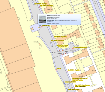
The AMX interface is renowned for its user-friendly nature, and a large part of this is the mapping functionality, allowing users to quickly view, select and open asset records. AMX supports all industry standard GIS systems, or embedded files to support our customers’ mapping requirements.
With AMX you can:
- Link to industry standard GIS systems or use embedded systems.
- Plot point, linear and polygon (perimeter) locations for assets, and view them immediately on the integrated map with customisable icons and summary details.
- Identify and record defects and work items directly on the map, using GPS data where available.
- Quick and easy selection of records using click-and-drag for multiple assets, or single click for a single asset, taking you straight through to the record(s) detail.

AMX Key Features
Contact us now for a demonstration.